NOAA Hail Data for Roofers: Free Sources + Where They Fall Short
You're using NOAA's free hail maps to decide where to deploy your canvassing crews — and your data is already 24 hours old before you've loaded the trucks.
By the time NOAA's storm data is fully published and map-ready, your most aggressive competitors have already knocked every high-density block in the hail zone.
The fix: Here's what NOAA actually gives you, where it's genuinely useful, and what you need for same-day storm deployment.
NOAA hail data is free, legitimate, and backed by the best weather infrastructure in the world. It's also not designed for same-day roofing deployment. Understanding what it gives you — and where its limitations are — lets you use it correctly: as a verification and documentation tool, not as a same-day deployment driver.
What NOAA Actually Publishes
NOAA publishes hail-related data through several sources, each with different freshness and resolution:
Storm Prediction Center (SPC) Local Storm Reports
The SPC publishes Local Storm Reports (LSRs) as they come in from NWS offices and trained spotters. These are available at spc.noaa.gov and typically show hail size and general location within 1–3 hours of an event — often faster than processed radar products. Resolution is low (city/county level), and hail size is spotter-estimated, not radar-derived. Useful for fast initial triage.
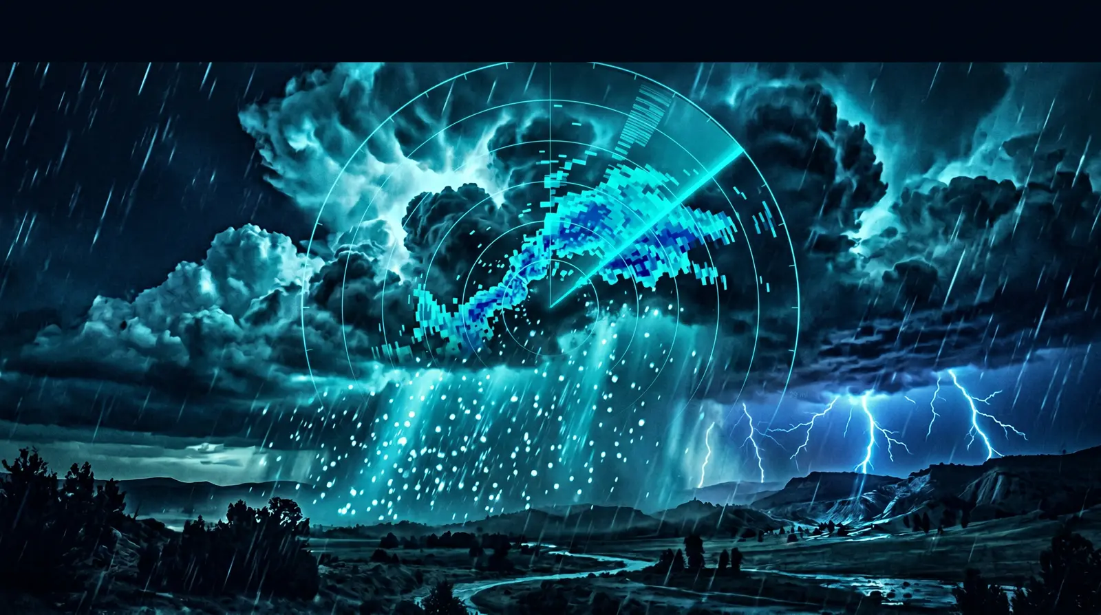
NEXRAD Radar-Derived Hail Products (MESH)
NOAA's MESH (Maximum Estimated Size of Hail) product is derived from radar returns and gives estimated hail size at sub-county resolution. MESH updates are processed and available in near-real-time from NOAA's radar viewers, but the raw data requires interpretation and most roofers access it through third-party tools that add an additional processing lag.
NOAA's Storm Data Publication
The official monthly Storm Data publication is NOAA's most complete hail record — includes verified hail events with size, location, damage estimates, and injuries. Published 2–3 months post-event. Useful for historical market analysis and insurance documentation; completely irrelevant for deployment timing.
SPC Severe Weather Archives
Historical event data going back to 1955 at spc.noaa.gov/wcm. Excellent for hail history by ZIP code analysis and for evaluating the long-term event frequency of a market before investing in sub crew relationships.
The Data Lag Problem
Here's the timing reality for NOAA-derived hail data as it reaches most roofers:
- SPC LSRs: 1–3 hours post-event. Low resolution, spotter-estimated hail size. Good for initial awareness.
- MESH radar products: 3–8 hours to processed, publicly accessible form for most users. Better resolution but still not address-level.
- Third-party tools that resell NOAA data: 12–36 hours for most consumer-facing hail map tools. This is where most roofers live.
- NOAA Storm Data publication: 60–90 days post-event.
The practical problem: if you're using a tool that shows NOAA-derived polygons with a 12–24 hour lag, you're always deploying the day after your fastest competitors. At 8–12% close rate in uncontested zones vs. 4–6% in day-2 saturated zones, the lag directly costs you contracts.
StormIntel shows you exactly which ZIP codes got hit, how large the hail was, and how many rooftops are in the zone — before your competition loads their maps. See plans →
Where NOAA Data Is Genuinely Useful for Roofers
NOAA data serves three legitimate functions in a storm-restoration operation:
- Insurance documentation: NOAA event records are accepted by most carriers as authoritative evidence that a storm occurred on a specific date. When an adjuster questions whether the damage is from the event you're claiming, a NOAA LSR or SPC event record settles it. Keep a log of NOAA event records for every storm you work.
- Market frequency analysis: SPC historical archives let you analyze how often a market gets qualifying events. Running a hail history by ZIP code lookup tells you whether a market gets 2–3 events per year (worth investing in) or 1 event every 4 years (not worth building infrastructure for).
- Supplementing support: NOAA's wind speed and hail size data from the day of a storm can support supplement arguments. If an adjuster claims the hail was too small to cause damage, SPC data confirming 2" hail in the storm cell is useful documentation.
When You Need Real-Time Hail Data Instead
For same-day storm deployment, you need a tool that processes dual-polarization radar data and delivers neighborhood-level hail polygons within 2–4 hours of a storm event. The tools in this category:
- StormIntel — real-time polygons with property count and roof age overlays, built specifically for roofing contractors. Under 4-hour lag from event to update.
- HailPoint — 6–12 hour lag, address-level resolution. Faster than most NOAA-based tools but slower than StormIntel for same-day deployment.
- Verisk/CoreLogic products — enterprise-grade hail data used by insurance carriers. Available to contractors but priced for carriers ($1,000+/mo). Excellent resolution and speed; overkill for most operations.
For a full comparison, see our storm chaser software guide.
Building Your Data Stack
The correct stack uses NOAA data where it's best (documentation, historical analysis) and commercial real-time tools where NOAA falls short (same-day deployment):
- Day 0 (event day): Real-time tool (StormIntel) for zone selection and deployment. SPC LSRs for initial triage within the first hour.
- Day 1–30: Real-time tool for ongoing deployment. NOAA LSR for documentation.
- Month 1–3: NOAA Storm Data publication for final event documentation in claim files.
- Market analysis: SPC historical archives for evaluating new markets.
Bottom Line
NOAA is the authoritative source for hail history, documentation, and market analysis. It's not a same-day deployment tool. The 12–36 hour lag on most NOAA-derived consumer products costs you contracts in every storm market. Use real-time commercial tools for deployment; use NOAA for everything else.
Ready to work smarter on storm days? StormIntel delivers real-time hail polygons, property counts, and roof-age data so your crew hits the right doors first. Start free →
Frequently Asked Questions
Is NOAA hail data free to use?
Yes — NOAA's storm data, SPC reports, and historical archives are publicly available at no cost. Most data is accessible at spc.noaa.gov and ncei.noaa.gov. The limitation is not cost but data lag — NOAA's processed products typically lag 12–36 hours behind real-time events when accessed through consumer interfaces.
How accurate is NOAA hail size data?
NOAA's radar-derived MESH products are reasonably accurate for hail size estimation but have known biases — they tend to overestimate hail size in some convective modes and underestimate in others. Spotter reports in SPC LSRs are ground-truth but geographically sparse. For insurance documentation purposes, NOAA data is generally accepted; for precise roof-damage probability modeling, commercial radar products that use additional polarimetric algorithms are more accurate.
What is the difference between NOAA hail data and HailTrace or StormIntel?
NOAA data is the underlying raw source. HailTrace, StormIntel, and similar tools process NOAA radar feeds (plus additional data sources) and add business-specific features: address-level resolution, property databases, property age overlays, and contract/CRM workflow. The primary differentiator between commercial tools is how quickly they process the raw data and how useful the output is for contractor workflows.
How do I use NOAA data to qualify a hail claim?
Download the SPC Local Storm Report for the event date and location from spc.noaa.gov. The LSR shows confirmed hail size from spotters in the storm area. Use this as supporting documentation in your claim file alongside your physical inspection evidence and photos. NOAA records are accepted by most carriers as authoritative storm documentation.
How far back does NOAA hail data go?
NOAA's SPC severe weather archives include hail event records going back to 1955. The historical record becomes more complete and spatially consistent from about 1990 onward with modern radar networks, and most commercial tools use 1993+ data as their reliable baseline. Pre-1990 data exists but has significant geographic gaps.
Higher Close Rate. Less Windshield Time.
StormIntel tells you exactly which streets in which ZIPs have real, current-storm damage — so your inspectors stop wasting daylight on old claims and tire-kickers.
- ZIP-level damage severity scoring
- Ranked street lists for inspectors
- Built for inspection-first sales teams
- 30-day money-back guarantee